
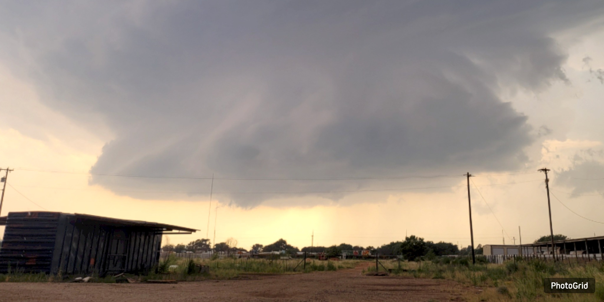
This weekend, the South Plains will face another wave of intense heat, but a cold front is expected to usher in cooler temperatures and potential rain early next week.
This Saturday, temperatures are projected to soar to 100°F or more across a significant portion of the area, with regions near the Caprock potentially experiencing highs ranging from 101°F to 104°F. Residents in northwestern areas should brace for the sweltering heat, which a slight possibility of isolated severe storms may accompany. Experts indicate that the likelihood is minimal, with any storms that may arise primarily posing a threat from strong winds.
As we approach late Sunday, a cold front is expected to arrive, bringing a drop in temperatures and an increase in the likelihood of rain. Afternoon temperatures are projected to decrease to the mid-90s on Sunday, with a further decline to the low 90s on Monday and Tuesday. The incoming front is expected to increase the chances of showers and thunderstorms, particularly during the initial part of the workweek.
The respite will be temporary. Predictions suggest a resurgence of temperatures in the mid- to upper 90s by late next week, as summer warmth reestablishes itself across the area.


From breaking news to thought-provoking opinion pieces, our newsletter keeps you informed and engaged with what matters most. Subscribe today and join our community of readers staying ahead of the curve.
From breaking news to thought-provoking opinion pieces, our newsletter keeps you informed & engaged.


.jpg)

