
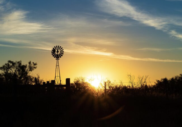
This week, West Texas will experience hotter and drier weather as high pressure takes control of the area. This will raise temperatures and lower the chance of rain.
It has rained in and around the region over the past few days, which has helped keep the temperatures lower than usual. That break is going to end soon. A ridge of high pressure that had moved briefly westward is now back where it belongs, directly over West Texas. The shift is usually a sign of dry skies and rising temperatures.
At the beginning of July, the high pressure was located in the east, which drew moisture from the Gulf into the area and caused intense rainfall. Storms originating from New Mexico and Colorado, which moved southeast, sometimes impacted the area at the end of last month. However, with the ridge currently positioned above us, the likelihood of storms will significantly decrease, and each afternoon is expected to be slightly hotter than the previous one.
It typically reaches 94° in Lubbock in early August, but it may even get warmer than that. Tuesday will be 104°, Wednesday and Thursday will be 105°, Friday will be 106°, Saturday will be 103°, and Sunday will be 104°.
The ridge's hold may loosen a little by the end of the week. This could cause temperatures to drop slightly and bring back a few storms.
For now, people should closely monitor the weather. Wear sunscreen, drink plenty of water, avoid strenuous activities between 2 and 6 p.m., and try to find air conditioning whenever possible. Bug spray and shade are also essential items to have on hand to stay safe during this worsening weather.


From breaking news to thought-provoking opinion pieces, our newsletter keeps you informed and engaged with what matters most. Subscribe today and join our community of readers staying ahead of the curve.
From breaking news to thought-provoking opinion pieces, our newsletter keeps you informed & engaged.


.jpg)