Monday
The South Plains and Rolling Plains will have mostly sunny to partly cloudy skies with gusty winds on Monday.
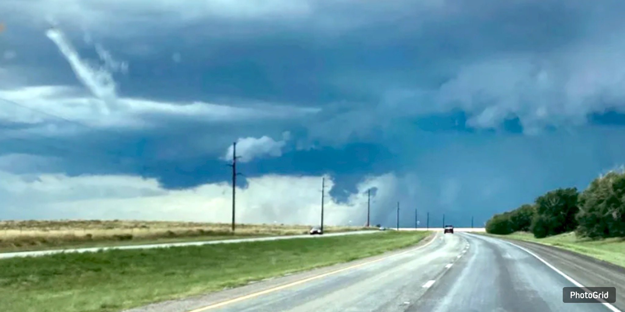
It will be hot and humid. There is a slight chance of thunderstorms in the morning, and by late afternoon, there is a chance of single or scattered storms. High temperatures will range from the mid-90s to the low 100s, with winds blowing from the southwest at 10 to 20 mph. There is a 30% chance of rain.
Sunrise is at 6:52 AM CDT, while sunset will be at 8:55 PM CDT.
It will stay warm and muggy into the evening, with partly cloudy skies and the chance of a few showers. The lows will be in the mid-60s to mid-70s, and winds will stay 10 to 15 mph from the south-southwest. The chance of rain stays at 30%.
Tuesday
The weather is expected to remain the same on Tuesday, with mostly sunny to partly cloudy conditions and a warm, breezy atmosphere throughout the region. Prices will still be in the low to high 90s, but not as hot as yesterday. Thunderstorms are expected again in the afternoon, with a 30% chance of rain.
Sunrise is at 6:53 AM CDT, while sunset will be at 8:54 PM CDT.
Extended Outlook (Wednesday through Sunday)
Expect daily chances of isolated to scattered thunderstorms to persist through midweek. On Wednesday, expect highs in the upper 80s to mid-90s to be a little cooler. Thursday through Saturday, high temperatures are expected to range from the mid-90s to the low 100s. Temps will stay in the mid- to high 90s on Sunday, and there is a slight chance of thunderstorms. The low temperatures in the mornings are expected to remain in the mid-60s to mid-70s throughout the week.
Because it rains every day and the temperature fluctuates, people should keep an eye on the weather and be prepared for both extreme heat and sudden storms, especially in the afternoons.


From breaking news to thought-provoking opinion pieces, our newsletter keeps you informed and engaged with what matters most. Subscribe today and join our community of readers staying ahead of the curve.
From breaking news to thought-provoking opinion pieces, our newsletter keeps you informed & engaged.


.jpg)