In the South Plains, the weather is changing, which is welcome after the recent stretch of triple-digit heat. A cold front moving slowly south from the Texas Panhandle is causing storms and will bring cooler weather through the beginning of next week.
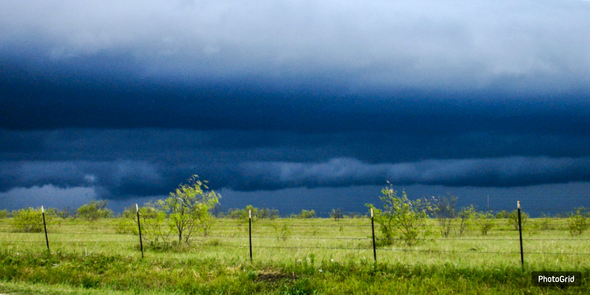
Sunday night, storms started to form near the state line with New Mexico. They are now moving eastward. Forecasters say that some storms could last all night because the cold front is crashing into hot, muggy air.
Intense storms could bring dangerous winds of up to 60 mph, hail the size of quarters, and heavy rainfall.
The front is expected to stall near or just south of Lubbock by late Sunday night. Temperatures will remain in the low 60s north of the front but will stay warm in the 70s south of it. It might rain or storm a few times on Monday morning.
Monday will likely start quietly, but storms could resume by noon, especially along the boundary that has stopped moving. Storms are expected to spread across the Caprock by evening, bringing the chance of heavy rain and strong winds.
Highs will be in the upper 80s to low 90s, which is about 10 degrees cooler than Sunday.


From breaking news to thought-provoking opinion pieces, our newsletter keeps you informed and engaged with what matters most. Subscribe today and join our community of readers staying ahead of the curve.
From breaking news to thought-provoking opinion pieces, our newsletter keeps you informed & engaged.